Πέμπτη 17 και Παρασκευή 18 Δεκεμβρίου 2020, 5:00 μ.μ.
Σπάνια Βιβλία, Χειρόγραφα & Έγγραφα-Νεοελληνική Χαρακτική & Ζωγραφική
LOT 260
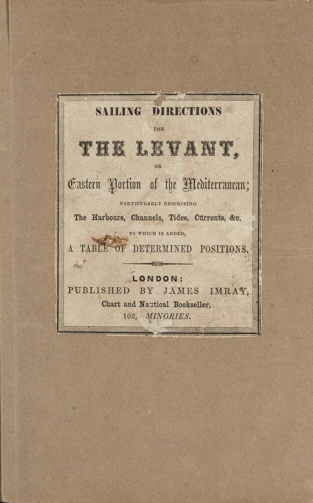
The new sailing directory for the Levant, or Eastern Portion of the Mediterranean Sea, particularly describing the harbours, channels, tides, currents, &c. &c., to wich is added a table of determined positions, compiled chiefly from the surveys made by Captain F. Beaufort, [...], Sir John Franklin, and others.
Τιμή εκτίμησης: € 150 - 200
Η τελική τιμή πώλησης περιλαμβάνει προμήθεια αγοραστή, τυχόν πνευματικά δικαιώματα καθώς και ΦΠΑ.
Πληροφορίες
8ο (215 x 134 mm.), 56 + 32 σ. (κομμένο μικρό τμήμα από την πάνω εσωτερική γωνία, οξείδωση). Στο τέλος κατάλογος του εκδότη με χρονολογία 1854 (σ. 1-32). Νεότερα εξώφυλλα (στο πάνω εξώφυλλο έχει κολληθεί τμήμα του αντίστοιχου αρχικού με τον τίτλο). • ΣΠΑΝΙΟ. Τυπώθηκε για να συνοδεύσει το New Chart of the Levant (βλ. στον κατ. του εκδότη, σ. 29).
Χαρακτηριστικά
- Τίτλος: The new sailing directory for the Levant, or Eastern Portion of the Mediterranean Sea, particularly describing the harbours, channels, tides, currents, &c. &c., to wich is added a table of determined positions, compiled chiefly from the surveys made by Captain F. Beaufort, [...], Sir John Franklin, and others.
- Στοιχεία έκδοσης: Λονδίνο, James Imray, χ.χ. [π. 1854].

